Your best catches. Your favorite spots.
Save every catch with its spot and conditions. See where you've fished, revisit the places that worked in similar temperatures or months, and find your biggest fish without digging through your camera roll.
Remember the catch. Return to the spot.
Keep the places worth coming back to
Save the location with each catch, then filter by month, water or air temperature, and species to see which spots produced fish in similar conditions. Give your next trip a starting point from your own experience.
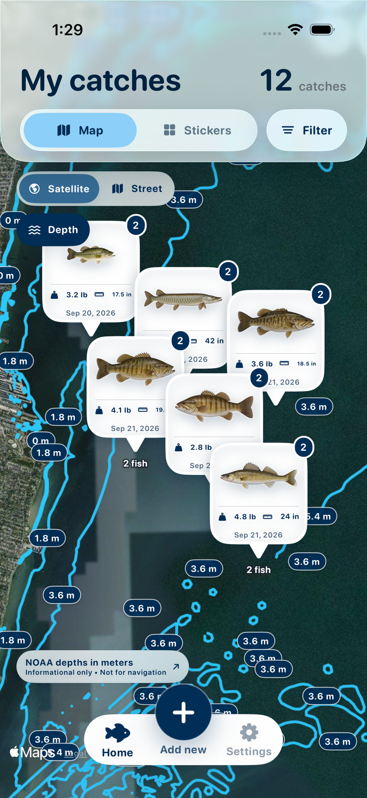
See your travels at a glance
From your home lake to a trip away, the map brings your saved fishing spots and catches together. Look back at the waters you've visited and tap a catch to remember what you landed there.
Find your best fish in seconds
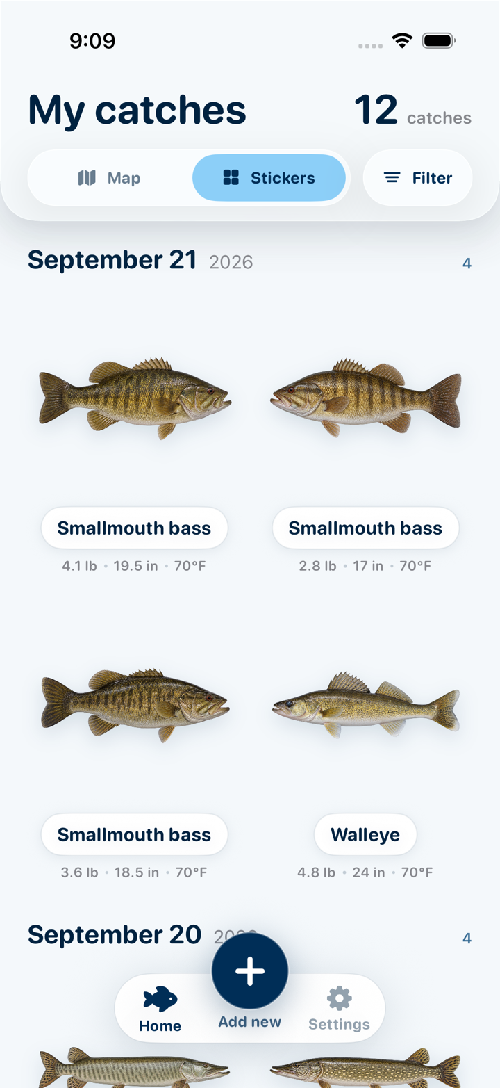
Keep your catches together in a visual gallery. Filter by weight and length, or sort by heaviest and longest to bring your personal bests to the top. Spend less time scrolling through your camera roll.
From a phone photo to a logged catch
Three steps between landing a fish and having it filed away with the numbers, the spot and the conditions attached.
Shoot it or import it
Take a photo, or pull one from your library — a single fish or a whole trip's worth at once. Catch Pins works through the batch and processes each photo in turn.
Watch it lift off the background
The fish is cut out into a clean, transparent sticker on your device. More than one fish in frame? Tap the one you want. You can cut out the lure that caught it, too.
Name it and log the details
Pick from three on-device species suggestions or type your own, then add weight, length, water temp, lure and bait, the spot, and whether you released it.
More memories. Less searching.
Put a name to your catch
Get three species suggestions from your photo, then choose or edit the name. Identification runs on your device, so you can log your catch even when you're away from a signal.
A gallery made for your fish
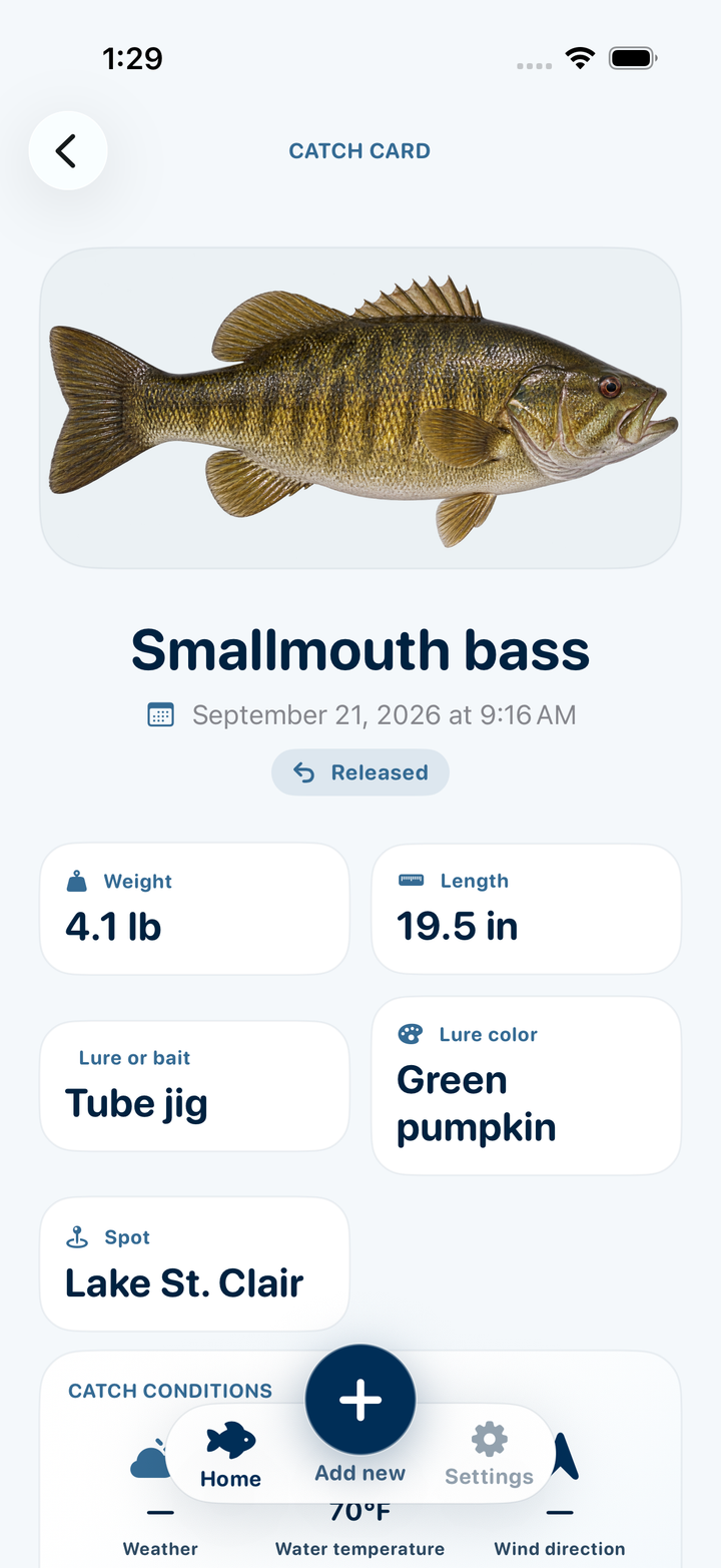
Turn catch photos into clean fish stickers you can recognize at a glance. Keep the fish, its measurements and the lure that worked together on one catch card.
Find a favorite spot again
See where your catches came from and return to the places you want to fish again. Filter the map to focus on a species, size, temperature or month. Turn on Depth for NOAA contours where available.
Remember what was working
Keep the conditions beside the catch: weather, temperature, wind, pressure and moon phase. When you're planning another outing, look back at the conditions behind a good day on the water.
Bring your personal bests to the top
Filter catches by weight and length, sort by heaviest or longest, or narrow your gallery by species. Your standout catches are easy to find whenever you want to look back.
Private by design
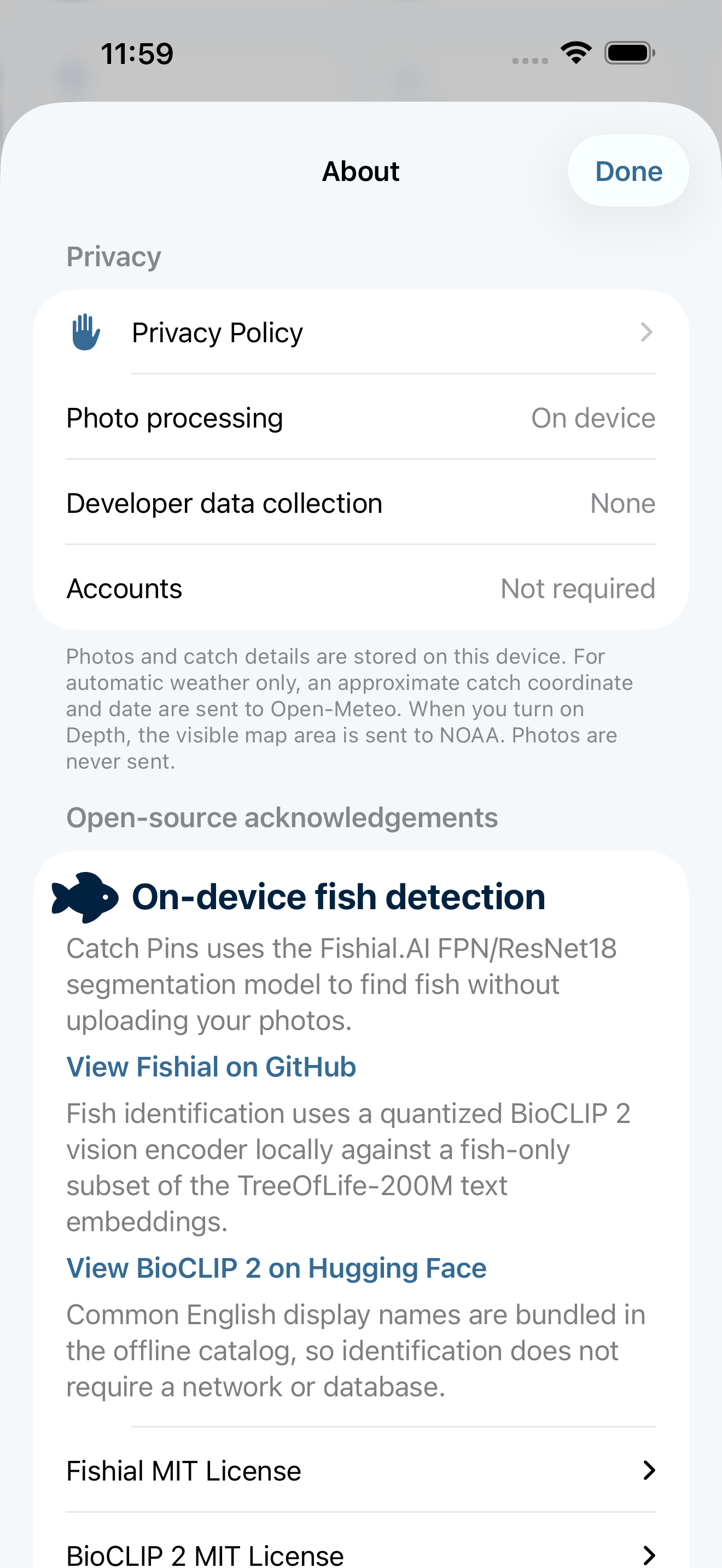
No account. No ads. No analytics. No tracking. Your photos, names and catch details stay in the app's own storage on your device.
Record your details. Find what worked.
Save the details now so they're useful on your next trip. Your catches become a record you can filter and revisit to see where, when and in which conditions you caught fish.
Record your details
Add the measurements, lure and spot you want to remember. Every field is optional, with imperial or metric units.
Weight
lb or kg
Length
in or cm
Water temp
°F or °C
Lure or bait
Name and color
Spot
Water body
Released
Yes or no
Catch Pins autofills the conditions
With automatic weather enabled, Catch Pins uses the catch location and time to add historical conditions. Time of day and moon phase give you more context to look back on later.
Weather
Condition & air temp
Wind
Speed, gust & heading
Pressure
inHg or hPa
Sea surface
Modeled water temp
Time of day
Dawn to night
Moon phase
With illumination
Optional weather comes from Open-Meteo using an approximate catch location and the catch date and hour. Moon phase is calculated on your device. Sea-surface temperature is a model estimate; add a measured water temperature whenever you have one.
The log keeps score so you don't have to
Open Settings and the whole log adds itself up.
Total catches
Everything you've logged
Species
Distinct fish named
Trip days
Days you got out
Personal bests
Heaviest, longest, released